AI-equipped aerial systems can make landmine clearance faster and safer by turning hazardous ground surveys into remote, data-driven detection missions. Instead of sending deminers straight into suspected minefields, drones can scan large areas from above, identify suspicious patterns with sensors and AI models, and generate GPS-tagged maps that guide bomb disposal teams to exact locations.
How the technology works
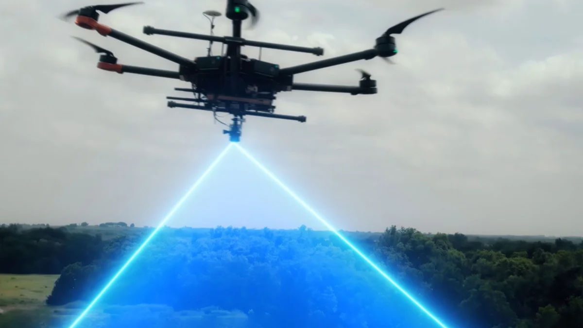
The basic workflow is straightforward. A drone flies over a suspected contaminated area and collects imagery or sensor data using visible light cameras, thermal sensors, multispectral cameras, magnetometers or ground sensing payloads. AI software then processes that data, looking for visual or magnetic anomalies that match the signatures of mines, unexploded ordnance or buried explosive remnants of war. The strongest systems do not rely on one sensor alone. They fuse multiple inputs so that a visual image can be checked against magnetic disturbance data or other readings, which helps reduce false positives and improve confidence before a human team moves in. In some programmes, the drone data is uploaded to cloud-based systems where machine learning models compare it against large labelled datasets of mines and ordnance.
Why AI changes the game
The main advantage is speed. Traditional demining often requires slow manual inspection, often with detectors, probes and protective gear, which exposes personnel to lethal risk. Drone surveys can cover large contaminated zones far more quickly, sometimes in days rather than weeks or months, and they can do so without placing teams directly over suspected explosives. AI also improves targeting. Instead of simply saying an area is dangerous, these systems can mark exact coordinates and produce maps that tell disposal teams where to excavate. That means fewer wasted digs, better use of limited clearance crews and faster return of land to civilian use. The legal and humanitarian significance is substantial. Landmines and unexploded ordnance remain a long-term danger in conflict zones, and the faster a contaminated area is mapped, the sooner schools, farms, roads and homes can be reopened safely. In places like Ukraine, where contamination is massive, researchers and companies say drone AI may be essential to making clearance even remotely manageable.
What are the limits
AI drones do not actually neutralise the explosives. They identify likely threats and help human specialists decide where to inspect and dispose of them. That distinction matters because buried explosives still require intrusive follow-up by trained explosive ordnance disposal teams. The other limitation is that buried mines are harder to spot than surface objects. AI vision works best when mines are visible above ground, while buried devices often require magnetometers, ground sensing or other specialised payloads to detect disturbances beneath the surface. Camouflage, vegetation, soil conditions and lighting can also create false readings, so the technology still depends on careful training data and human oversight. In practice, AI-equipped aerial systems are not replacing deminers. They are giving them a safer starting point. That is the real breakthrough: fewer people walking blindly into mined terrain, more precise clearance work, and a much better chance of turning deadly ground into safe land again.