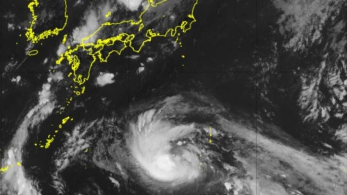
Typhoon No. 10, currently moving west-northwest at 20 kilometers per hour over the ocean south of Japan, is expected to bring severe weather conditions to Kyushu between Wednesday, August 28, and Thursday, August 29. The slow-moving typhoon is forecasted to strengthen as it travels through warm waters with a sea surface temperature of approximately 30 degrees Celsius. As a result, its impact on the region may be prolonged, with risks of strong winds, heavy rain, high waves, and high tides.
Reports from meteorological agencies indicate that Typhoon No. 10, which could approach the Amami region late on Tuesday, August 27, is likely to cross Kyushu with “strong” to “very strong” force. The typhoon’s path has shifted slightly westward compared to initial projections, raising concerns about potential landfall in southern Kyushu by Thursday, August 29. Following its passage through Kyushu, the typhoon is expected to move northward along the Sea of Japan coast, transitioning into a temperate cyclone by Friday, August 30.
Meteorologists have highlighted the typhoon’s slow movement, which could lead to prolonged adverse weather conditions across Kyushu. The outer bands of Typhoon No. 10 have already begun affecting the Pacific side of Kyushu, with heavy rainfall anticipated to begin on Tuesday, August 27. The Japan Meteorological Agency (JMA) has urged residents to stay informed by regularly checking updated typhoon forecasts, as the storm’s course and speed remain uncertain.
Given the potential severity of Typhoon No. 10, authorities have called for heightened vigilance and preparedness in the affected regions. Residents are advised to secure their homes, avoid non-essential travel, and monitor local news for the latest safety advisories.
Credit: tenki.jp