Typhoon No. 10 is poised to strike both Western and Eastern Japan with potentially catastrophic impacts. Forecasts from the Japan Weather Association indicate that the typhoon’s slow movement could result in sustained heavy rainfall, particularly affecting the Pacific coastal regions from Western to Eastern Japan. According to the JWA’s proprietary “JWA Integrated Weather Forecast,” rainfall could surpass 600 mm over a 48-hour period from midnight on Wednesday, August 28, to midnight on Thursday, August 29, especially in the Kyushu region.
Such extreme precipitation could lead to record-breaking rainfall levels, with the potential to exceed 150% of the maximum historical rainfall recorded for the area. This elevated ratio significantly heightens the risk of casualties, as evidenced by a joint study from the Japan Weather Association and Professor Motoyuki Ushiyama of Shizuoka University. The research suggests that when the historical rainfall ratio reaches 100%, casualties are likely to occur, and a ratio exceeding 150% could sharply increase the number of fatalities.
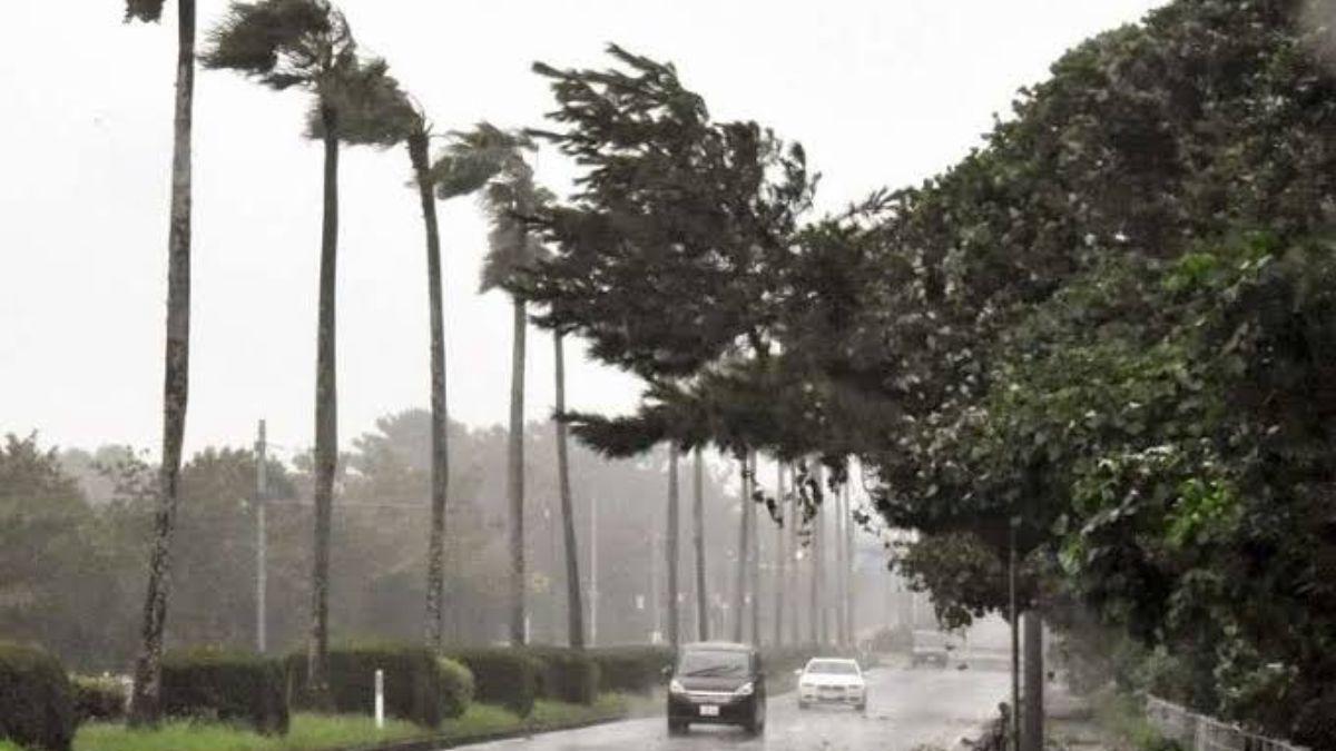
The typhoon’s slow progression will prolong the deluge, making continuous vigilance essential. The heavy rain is expected to commence in Kyushu on August 28 and persist through August 29, subsequently impacting Shikoku and the Tokai region from August 29 through August 31. The persistent rain, exacerbated by warm, humid air driven by the typhoon, poses severe risks of river flooding and widespread landslides, especially along the Pacific coast.
In light of the dangerous conditions, the Japan Meteorological Agency emphasizes the importance of timely evacuations. Evacuation decisions should not be delayed. At alert level 3, elderly and disabled individuals should seek safety immediately. At alert level 4, everyone within the affected area should evacuate without delay. Alert level 5 indicates that evacuation might no longer be feasible and lives are in immediate danger. Therefore, it is critical to evacuate before reaching alert level 4. Even in the absence of an official evacuation order, personal safety should take precedence; if there is any sense of danger, evacuate promptly.
As Typhoon No. 10 approaches, road conditions are expected to deteriorate rapidly, and strong winds will make evacuation increasingly perilous. Residents are advised to heed evacuation information from local authorities, act proactively, and collaborate with neighbors for a safe evacuation process. Continuous monitoring of weather updates and adherence to safety guidelines are crucial to mitigating the potential impact of this severe weather even