The Marshall Islands, an archipelago nestled in the vast expanse of the Pacific Ocean, conjure images of turquoise waters, coral atolls, and a unique geopolitical significance. Comprising 29 atolls and five isolated islands, the Marshall Islands are scattered across the equator, but their idyllic beauty is accompanied by geographical challenges. In this article, we explore the location of the Marshall Islands and delve into the factors that make this region prone to storms and tsunamis.
Geographical Location:

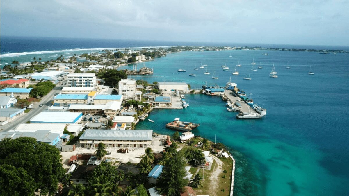
Credits – Britannica
The Marshall Islands are situated in the central Pacific, approximately 1,500 miles northeast of Papua New Guinea. This archipelago spans two parallel chains: the Ratak (sunrise) chain and the Ralik (sunset) chain, forming a total of 29 atolls. The capital city, Majuro, is located on the Majuro Atoll, serving as the political, economic, and cultural center of the nation.
Vulnerability to Storms:
The geographical positioning of the Marshall Islands renders it susceptible to tropical storms and typhoons. The region falls within the typhoon belt, where cyclones originating from the north Pacific can impact the islands. Due to their low-lying nature, many atolls in the Marshall Islands are particularly vulnerable to storm surges and high winds during tropical cyclones.
The National Weather Service (NWS) closely monitors and issues warnings for tropical storms, allowing residents time to prepare and evacuate if necessary. The frequency of storms in the Pacific, especially during the typhoon season from June to November, underscores the importance of robust disaster preparedness measures for the Marshall Islands.
Tsunami Threats:
The Marshall Islands, like many Pacific island nations, faces a potential threat from tsunamis. Tsunamis can be triggered by undersea earthquakes, volcanic eruptions, or large-scale landslides. With its vast stretches of ocean, the Pacific is known for generating powerful tsunamis that can impact coastlines across great distances.
While the Marshall Islands are not as seismically active as some other regions in the Pacific, the potential for tsunamis remains a concern. The country, along with neighboring nations, participates in the Pacific Tsunami Warning System, which monitors seismic activity and issues alerts to coastal communities.
Adaptation and Resilience:
Recognizing the inherent risks, the Marshall Islands has been actively engaged in climate change adaptation and disaster resilience efforts. The government, in collaboration with international partners, works on developing early warning systems, constructing resilient infrastructure, and implementing community-based disaster risk reduction programs.
In the face of these challenges, communities in the Marshall Islands showcase remarkable resilience and unity. Local initiatives, such as traditional knowledge-sharing on storm preparedness, underscore the importance of blending modern science with indigenous wisdom to navigate the complex environmental landscape.
The Marshall Islands, with its paradisiacal scenery, grapples with the dual reality of vulnerability to tropical storms and tsunamis. As a nation embedded in the vastness of the Pacific, its unique location demands a proactive approach to disaster preparedness and climate resilience. By combining traditional wisdom with contemporary strategies, the Marshall Islands exemplifies the strength of its communities in confronting the challenges posed by the dynamic forces of nature.