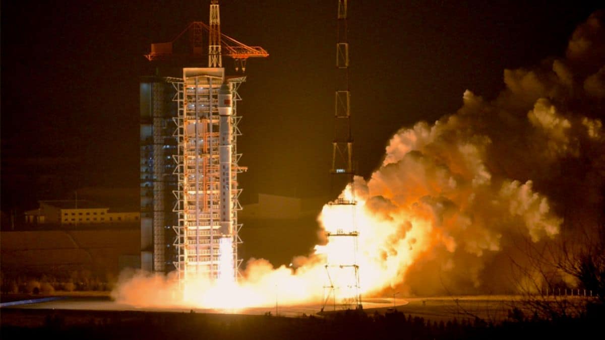
On Thursday, the China National Space Administration (CNSA) announced that China’s atmospheric environment monitoring satellite and terrestrial ecosystem carbon monitoring satellite has officially begun operations. Launched from the Taiyuan Satellite Launch Center on April 16, 2022, and August 4, 2022, respectively, these satellites aim to address global climate change and support China’s carbon peak and neutrality goals.
During in-orbit testing, the satellites demonstrated promising applications in various sectors, including ecological environment, forestry, grassland, geographic surveying, meteorology, agriculture, and emergency disaster response. An official from the CNSA highlighted their capability to provide crucial data for effectively combating climate change.
The atmospheric monitoring satellite, recognized as the world’s first to employ active laser detection, uses active laser, hyperspectral, multispectral, and high-precision polarization techniques. This enables extensive, continuous, dynamic, and round-the-clock monitoring of atmospheric fine particulate matter, pollutants, greenhouse gases, clouds, aerosols, and environmental elements such as land surfaces and water bodies. Notably, it has achieved a groundbreaking global round-the-clock high-precision detection of carbon dioxide column concentrations at 1 PPM.
The terrestrial ecosystem carbon monitoring satellite, known as “Goumang,” is celebrated as the world’s first remote sensing satellite for forest carbon sinks that combines both active and passive observation methods.
It detects vegetation biomass and productivity and monitors atmospheric aerosol distribution by utilizing laser, multi-angle, multispectral, hyperspectral, and polarization techniques. “Goumang” enhances global forest carbon sink monitoring by achieving quantitative remote sensing detection of forest vegetation height, biomass, and chlorophyll fluorescence.
CNSA officials stated that further exploration of satellite application scenarios and enhanced data sharing and utilization are planned to maximize the overall effectiveness of these satellites.