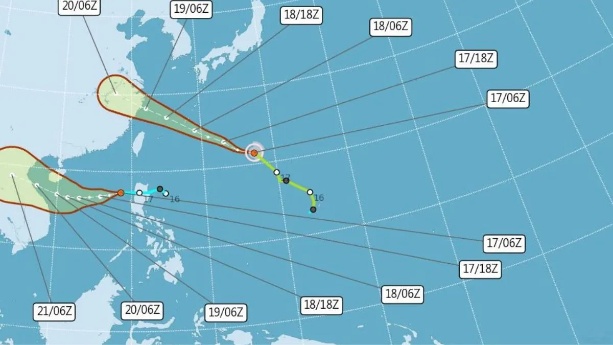
Tropical Storm Pulasan is set to influence weather conditions across Taiwan’s northern and eastern regions, although it is not expected to make direct landfall. According to weather forecaster Yeh Chih-chun, Pulasan’s outer bands will cause rain in these areas, with the storm currently advancing west-northwest at 41 kilometres per hour as of 6 a.m. on Tuesday, September 17.
The Central Weather Administration (CWA) has forecasted that from September 17 to September 19, heavy rainfall may affect northern Taoyuan, the eastern parts of Taiwan, and the Hengchun Peninsula. Residents in these regions should prepare for localized downpours. Other areas of Taiwan are expected to experience brief afternoon showers. From September 20 to September 24, intermittent showers are likely to persist in southern Taiwan.
Forecaster Yeh also noted a slight drop in temperatures for Wednesday, September 18. Highs in southern Taiwan, south of Hsinchu, are anticipated to reach between 33 and 35 degrees Celsius. Meanwhile, northern and eastern windward areas will see temperatures ranging from 30 to 32 degrees Celsius.
As Pulasan continues its west-northwest trajectory, the primary impact remains confined to rain rather than direct storm damage, offering some relief to the more central regions of Taiwan. The CWA advises residents to stay informed about evolving weather conditions and be prepared for the anticipated changes in rainfall patterns and temperatures.